
Tracking the Migration in Real Time
Tracking the Migration in Real Time: Spotter Planes, Apps and Radios
Tracking the Great Migration in real time has become an important part of planning wildlife safaris in Tanzania’s Serengeti National Park and Kenya’s Maasai Mara National Reserve. Every year, enormous herds of wildebeest, zebras and gazelles move across the Serengeti–Mara ecosystem in search of suitable grazing and water. Their movements attract thousands of safari visitors hoping to witness spectacular river crossings, large grazing herds and predator encounters.
However, finding the migration is not always straightforward. Wildebeest do not follow an exact timetable, and large herds can travel considerable distances as rainfall and grass conditions change. A location that contained thousands of animals yesterday may have far fewer the following morning.
Today, safari guides and conservation researchers use several methods to monitor wildlife movements, including aircraft observations, mobile applications, radio communication, satellite information and reports from guides working in the field. These methods help identify areas where animals have recently gathered, although no technology can reliably predict the exact time or location of every river crossing.
For travellers planning a Serengeti or Maasai Mara safari, understanding how migration tracking works can help you choose better travel dates, accommodation locations and game-drive routes.
Why Is the Great Migration Difficult to Track?
The Great Migration covers an extensive landscape spanning northern Tanzania and southwestern Kenya.
Approximately 1.2–1.5 million wildebeest participate in the wider migration, accompanied by large numbers of plains zebras and gazelles. Population estimates vary between surveys.
Rather than travelling as one enormous herd, wildebeest frequently form separate groups that spread across different grazing areas.
Some animals may gather around central Serengeti while others move towards western or northern regions.
Rainfall influences grass growth, which affects where herds feed. Researchers have demonstrated that new vegetation growth is a major factor associated with wildebeest migration patterns.
These changing conditions make fixed migration schedules unreliable.
Why Herd Locations Change
Several factors influence wildebeest movements:
Rainfall and the availability of fresh grass.
Changes in grazing quality.
Access to suitable water sources.
Seasonal breeding and calving patterns.
River conditions and natural obstacles.
Competition for available grazing.
Movements of neighbouring herds.
A reliable migration update should therefore describe recently observed animal locations rather than promise that a particular herd will remain in one place.
What Does Real-Time Migration Tracking Mean?
Real-time migration tracking refers to collecting recent information about the location and movement of wildebeest herds.
This information may come from wildlife guides, aircraft observations, research equipment or online reporting systems.
However, the term real-time can be misleading.
Some reports describe herds observed only a few hours earlier. Others rely on observations collected several days before publication.
A migration map may also display predicted movements rather than confirmed animal locations.
For safari planning, it is important to distinguish three types of information.
Confirmed sightings describe animals observed at a particular location and time.
Recent movement reports describe where herds were seen travelling and their apparent direction.
Predictions estimate where animals may move based on historical migration patterns, rainfall and vegetation conditions.
All three can be useful, but they should not be treated as equally certain.
1. How Spotter Planes Help Locate Migrating Wildebeest
Aircraft provide an aerial perspective of the Serengeti–Mara landscape.
Large wildebeest herds can sometimes be easier to detect from above because observers can examine extensive grassland areas that would take much longer to cover by vehicle.
Aircraft have been used in Serengeti wildlife monitoring for decades.
The Frankfurt Zoological Society supports aerial monitoring in Serengeti National Park, including the use of aircraft for wildlife surveys, patrols and conservation activities.
Its aerial operations have included an Aviat Husky spotter aircraft and a Cessna used for logistical support.
What Can Aircraft Observers See?
When conditions permit, trained observers may identify:
Large concentrations of grazing wildebeest.
Herds moving across open plains.
Groups gathering near rivers.
Seasonal changes in wildlife distribution.
Areas affected by flooding or other environmental conditions.
Changes in vegetation and water availability.
Aerial observations are especially useful for conservation monitoring and broad wildlife surveys.
However, routine conservation flights should not be confused with a guaranteed commercial migration-spotting service for tourists.
Aircraft operations require appropriate authorisation, and information gathered during surveys may not be available immediately to safari operators.
How Aerial Wildlife Surveys Work
Wildlife researchers may use systematic aerial surveys to estimate animal numbers and distribution.
Aircraft follow planned flight paths across selected areas.
Observers record the animals visible within designated survey zones.
This information can help researchers understand population changes and seasonal movements.
However, aerial surveys have limitations.
Animals hidden beneath trees may be difficult to count, and poor visibility can affect observations.
Aircraft also cover particular areas at particular times. A survey does not continuously monitor every herd.
For travellers, aerial information is most valuable when combined with recent ground observations.
2. How Safari Guides Use Radios to Track Herds
Radio communication remains a useful tool for safari guides working in the Serengeti and Maasai Mara.
Guides may communicate with colleagues to exchange information about animal sightings, road conditions and wildlife movements.
For example, one guide may encounter a large herd approaching the Mara River and share a location description with another guide operating nearby.
The second guide can then decide whether visiting that area is practical.
What Information Do Guides Share?
Depending on their communication arrangements, guides may exchange information about:
Recent wildebeest concentrations.
Herds approaching riverbanks.
General movement directions.
Predator sightings.
Road and weather conditions.
Accessible wildlife viewing locations.
Radio communication can be particularly useful in areas with limited mobile telephone coverage.
However, radio networks differ between safari operators, and not every guide has access to the same communication channels.
Why Radio Reports Are Not Always Accurate
Migration reports can become outdated quickly.
A guide may report a herd gathering near the river, but the animals could retreat or move elsewhere before another vehicle arrives.
Herds may also be spread across several kilometres, making precise location descriptions difficult.
Experienced guides therefore combine radio updates with direct observation and knowledge of local conditions.
3. Using Migration Tracking Apps and Online Maps
Digital migration tracking services have made recent wildlife reports more accessible to travellers.
Some platforms collect sightings from safari guides, pilots and wildlife professionals.
Others use historical migration patterns and environmental information to estimate likely movements.
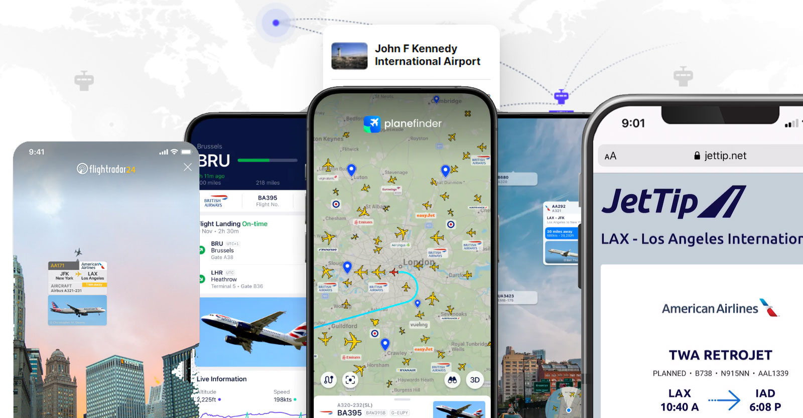
One example is HerdTracker, operated by Discover Africa, which displays reported migration movements and provides planning information.
Its approach combines field reports with map-based information and predictive features.
However, these services should be treated as planning aids rather than continuous GPS tracking of every wildebeest.
What to Look for in a Migration Tracking App
A useful migration tracking service should provide:
Dates for the latest reported sightings.
General herd locations.
Recent movement descriptions.
Clear distinctions between sightings and predictions.
Information about seasonal migration patterns.
Relevant national park or region names.
Be cautious of platforms promising exact river-crossing times.
Wildebeest crossings remain unpredictable, even when large herds have already gathered near the water.
4. How GPS Collars Help Scientists Study Migration
Wildlife researchers sometimes fit selected wildebeest with GPS tracking collars.
These devices record the locations of individual animals at scheduled intervals.
Researchers can use the information to examine migration routes, seasonal habitat use and responses to environmental conditions.
A scientific study published in 2026 reported GPS data collected from 57 migratory wildebeest in Serengeti National Park between January 2019 and September 2023.
The research examined how human-made structures influenced the spatial distribution of migrating wildebeest.
Can Tourists Track GPS-Collared Wildebeest?
GPS research data is not necessarily available to the public.
Tracking information may be restricted for scientific, conservation or wildlife protection reasons.
Furthermore, a collar records the movement of an individual animal, not every member of the migration.
A collared wildebeest may provide useful information about migration behaviour, but it cannot represent the exact position of all herds.
For safari visitors, recent field reports are generally more practical than expecting access to research collar data.
5. Satellite Images and Rainfall Monitoring
Satellite information helps researchers study the environmental conditions that influence migration.
Satellites can measure vegetation greenness, rainfall patterns and other landscape characteristics.
These measurements provide information about areas where fresh grass may be growing.
Because wildebeest respond strongly to grazing conditions, vegetation observations can help explain their movements.
How Vegetation Monitoring Works
Researchers may examine changes in vegetation through measurements such as the Normalised Difference Vegetation Index, commonly called NDVI.
This index uses reflected light to estimate vegetation greenness.
When grass growth increases following rainfall, suitable grazing conditions may develop.
However, green vegetation alone does not guarantee that wildebeest will move into a particular location.
Animals also respond to water, forage quality and other environmental factors.
Satellite information is therefore most useful when interpreted alongside wildlife observations.
6. Why Local Safari Guides Remain Essential
Despite advances in technology, experienced guides remain central to a successful migration safari.
A knowledgeable guide understands the region’s seasonal movement patterns, roads and wildlife habitats.
They can interpret recent reports and assess whether a particular location is worth visiting.
For example, an app may show wildebeest near Kogatende in northern Serengeti.
However, your guide may know that the animals have already moved towards another feeding area or that access to the reported location is restricted.
Local knowledge helps travellers avoid spending unnecessary time pursuing outdated sightings.
What Makes a Good Migration Guide?
Look for a guide who understands:
Seasonal wildebeest movements.
Serengeti and Maasai Mara geography.
River-crossing behaviour.
Wildlife viewing regulations.
Local road conditions.
Ethical photography and vehicle positioning.
A responsible guide should also explain that no crossing can be guaranteed.
How Migration Tracking Changes Throughout the Year
Migration tracking becomes particularly useful when herds move between major seasonal regions.
January to March: Southern Serengeti and Ndutu
Large wildebeest concentrations typically gather on the southern short-grass plains.
The calving season generally peaks around February.
Tracking during this period focuses on locating grazing herds, newborn calves and predator activity.
April to June: Central Serengeti and Western Corridor
As seasonal conditions change, many herds begin moving northwards and westwards.
The Western Corridor and Grumeti River may become important between late May and June.
Recent field reports can help determine whether large herds have reached these areas.
July to October: Northern Serengeti and Maasai Mara
This is the main period associated with Mara River crossings.
Herds may gather around Kogatende, Lamai, the Mara Triangle and other parts of the Maasai Mara ecosystem.
Tracking becomes particularly important because animals may approach different crossing locations.
November to December: Returning Towards Southern Serengeti
As rainfall patterns change, many herds begin moving towards central and southern Serengeti.
The precise route and timing depend on available grazing.
General Migration Calendar
| Period | Typical area | Main tracking interest |
|---|---|---|
| January–March | Ndutu and southern Serengeti | Calving herds |
| April–May | Central and western Serengeti | Northward movement |
| June | Western Corridor | Grumeti River activity |
| July–October | Northern Serengeti and Maasai Mara | Mara River crossings |
| November–December | Central and southern Serengeti | Returning herds |
These periods describe usual seasonal patterns, not confirmed current herd positions.
Can Technology Predict the Exact Time of a River Crossing?
No existing tourist-facing migration tracking system can reliably predict the exact moment wildebeest will enter the Mara River.
Herds may remain along the banks for several hours.
Some animals approach the water, retreat and return later.
Others abandon a crossing location entirely.
Strong currents, difficult banks and movements within the herd may influence what happens next.
An accurate sighting report can identify where wildebeest are gathering, but it cannot guarantee that they will cross.
Travellers should approach river-crossing safaris with realistic expectations.
How to Use Tracking Reports When Booking a Safari
Migration information can help you choose the most suitable region for your travel dates.
If you are travelling in February, southern Serengeti and Ndutu are generally more appropriate than northern Serengeti for observing concentrated calving activity.
For June, western Serengeti may provide favourable migration opportunities.
Between August and September, northern Serengeti and the Maasai Mara are usually stronger choices for river-crossing safaris.
Before booking, ask your safari operator where the largest herds have been reported recently and how far your accommodation is from the likely viewing areas.
For trips booked several months in advance, rely on seasonal migration patterns while allowing flexibility where possible.
How Safari Camps Use Migration Information
Some safari camps operate seasonally, positioning accommodation near areas where herds are expected to gather.
Others remain in permanent locations throughout the year.
Seasonal camps can reduce travel distances during particular migration periods, but their locations are planned in advance and do not change every time a herd moves.
Permanent camps may provide access to several wildlife habitats while offering consistent facilities.
When choosing accommodation, consider both the expected migration region and the actual driving distance to authorised viewing areas.
A camp described as a migration camp does not automatically guarantee nearby wildebeest herds.
Responsible Wildlife Tracking and Viewing
Tracking technology should help visitors observe natural wildlife behaviour without interfering with the animals.
Safari vehicles must follow national park and reserve regulations.
Drivers should avoid blocking wildebeest approaching river crossings or surrounding animals in ways that restrict movement.
Are Drones Used to Track the Migration?
Drones can support authorised conservation research and wildlife monitoring.
However, tourists cannot assume they are permitted to fly drones inside protected areas.
Serengeti National Park restricts drone operations without special permission. Tanzania also regulates remotely piloted aircraft through its civil aviation authority.
Visitors should never launch drones near migrating herds without the necessary authorisations.
Aircraft and drones can disturb wildlife when operated irresponsibly.
For ordinary safari travellers, authorised ground-based viewing with an experienced guide remains the most practical option.
Planning a Migration Safari With Recent Wildlife Reports
A good migration safari combines advance planning with recent information gathered during the trip.
Start by selecting travel dates that match the general seasonal movement pattern.
Choose accommodation within reasonable driving distance of the expected migration region.
Before each game drive, discuss the latest reports with your guide.
If large herds are moving elsewhere, your guide can adjust the route where park regulations and travel arrangements permit.
Allowing three or four nights in an important migration region provides more opportunities than relying on a single game drive.
However, remember that migration viewing involves more than river crossings. Grazing herds, predator encounters and large-scale movements across the plains can be equally rewarding.
Why Real-Time Migration Tracking Is Useful
Tracking the Great Migration has become more informative through the combination of aircraft observations, GPS research, satellite data, radio communication and digital reporting platforms.
Each method contributes different information.
Aircraft provide broad landscape observations. Radios help guides share recent sightings. Apps organise field reports for travellers. GPS collars support scientific research, while satellite information helps explain environmental changes.
However, none can guarantee where every wildebeest will be at a particular moment.
For travellers exploring Kenya’s Maasai Mara or Tanzania’s Serengeti, the most reliable approach combines seasonal knowledge, recent wildlife reports and an experienced local guide.
Good planning improves opportunities to encounter migrating animals while allowing the unpredictable behaviour of the Great Migration to remain natural.


No comment